
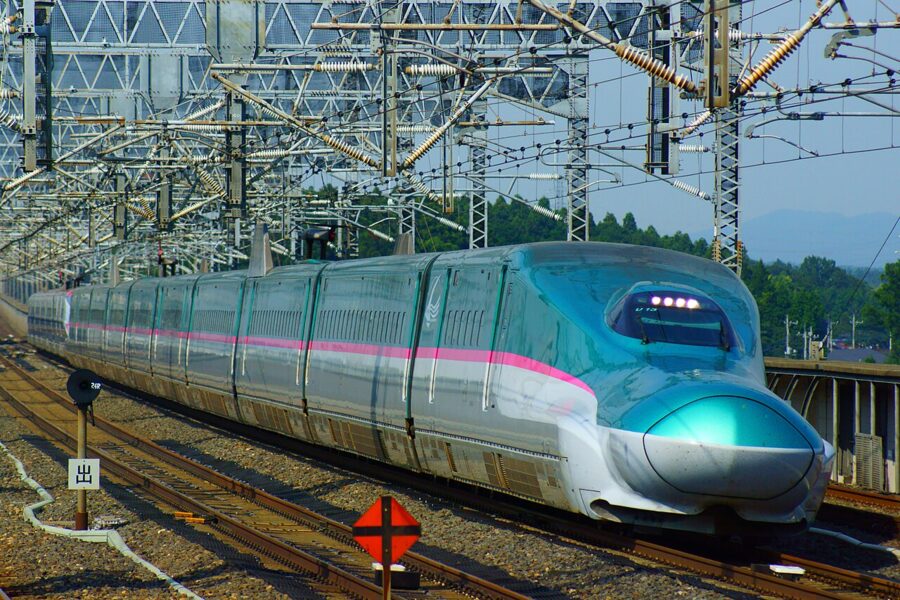
A Hayabusa that leaves Tokyo at 8.18 in the morning is in Sendai at 9.48 and at Shin-Aomori, at the top of Honshu, by 11.16. From the window Tohoku (東北) looks simple: rice plains, a line of mountains to the west, the occasional castle town. Getting off the train is where the region starts to ask questions.
Tohoku covers roughly a third of Honshu, yet the six prefectures take only about 1.5 percent of the nights foreign visitors spend in Japan. That gap is the reason to go, and the reason to plan. Trains run fast along the spine and slowly everywhere else, the two coasts are far apart in time, and for five months of the year snow decides which roads exist.

Read Tohoku as a set of corridors. One fast line runs up the middle, two slower branches cross the mountains to the west coast, and each coast has a line or road of its own, joined to the middle by a handful of crossings. Learn where those crossings are and which of them close, and the rest of the planning follows.

Contents
Tohoku on the map: one spine, two coasts
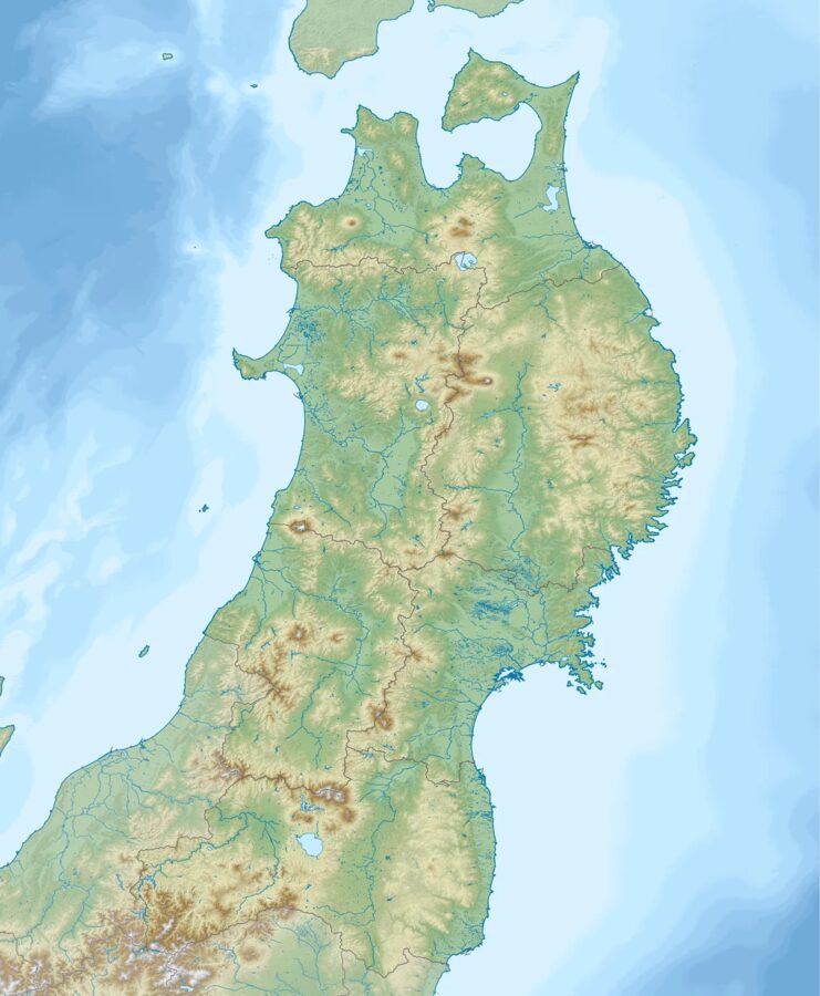
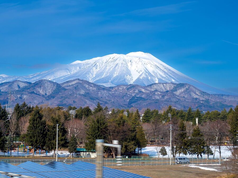
Start with the mountains. The Ou Mountains run about 500 kilometres from the Natsudomari Peninsula near Aomori to the borders of Fukushima and Tochigi. The Tohoku Shinkansen and the Tohoku Expressway follow the valleys on their eastern flank, which is why Morioka, Sendai and Fukushima sit almost in a straight line.
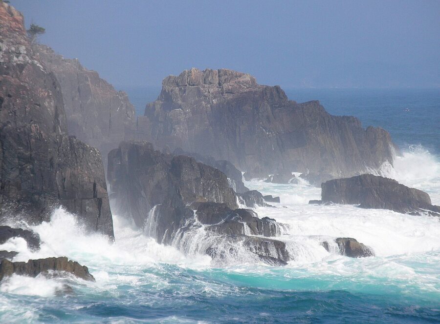
East of that corridor rise the Kitakami Mountains, an older block of hills that was land before the Japanese islands took their present shape. Where they meet the Pacific they break into the Sanriku coast: deep, narrow inlets with a fishing town at the head of each and little flat ground between. Further south the Abukuma Highlands do the same on a gentler scale.
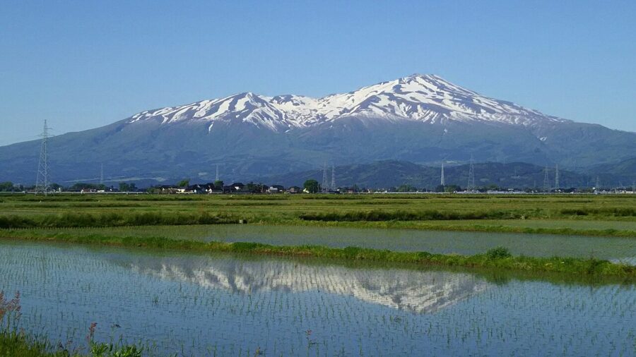
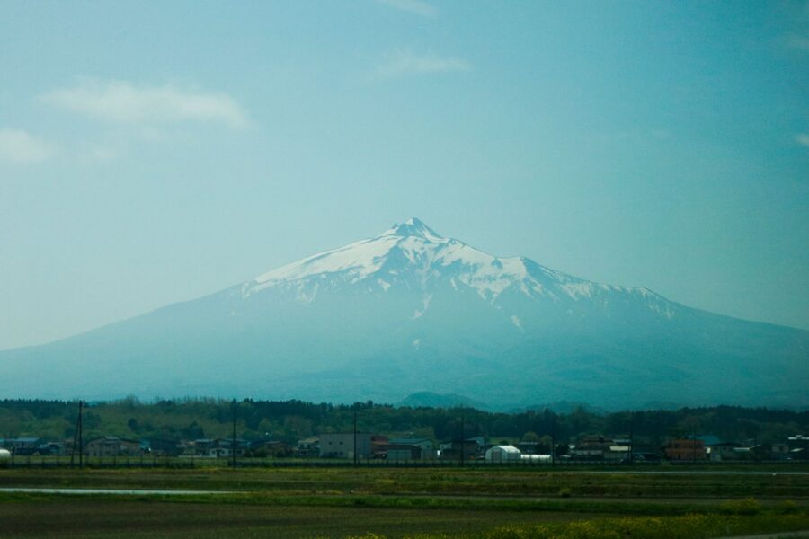
West of the spine runs a lower range, the Dewa Mountains, with volcanoes such as Mount Chokai and Mount Gassan rising above it. Between the ranges lie the basins of Yamagata, Yokote and Aizu, where Tohoku grows its rice and fruit. Beyond them the Sea of Japan coast is long and straight, with the Oga Peninsula as its one big bump and deep winter snow behind it.

That shape explains the travel. North and south is easy, with the grain of the land. East and west means crossing a range on a slow single-track line or a pass road that may be shut in winter, and it is the crossings rather than the distances that eat days.
The six prefectures and their cities
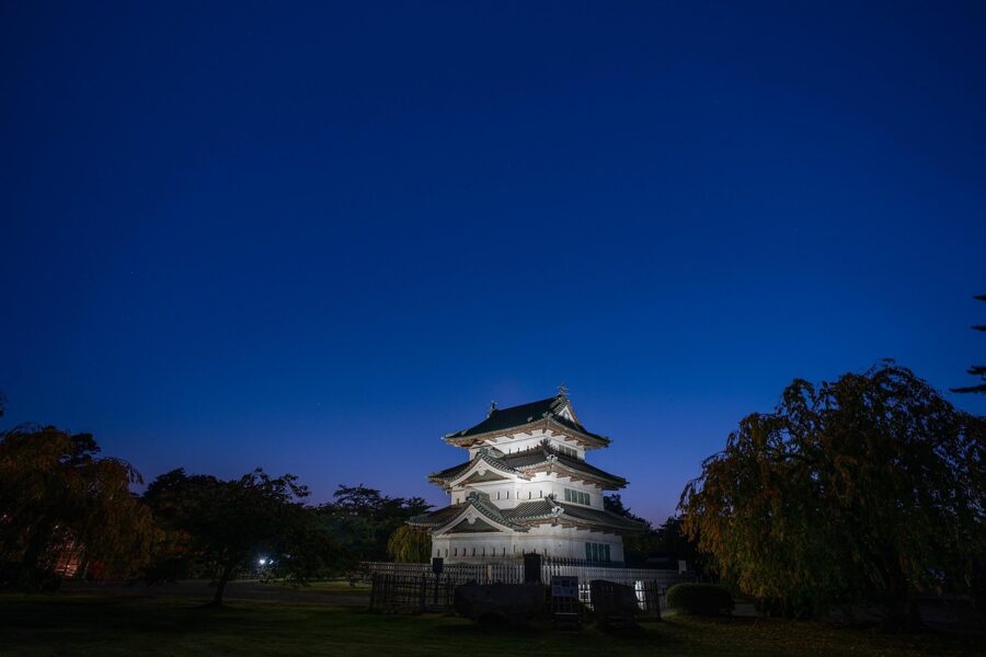
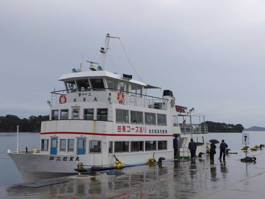
Aomori Prefecture fills the northern tip, split between the Tsugaru side around Hirosaki and Aomori city and the Nanbu side around Hachinohe, with the axe-shaped Shimokita Peninsula reaching towards Hokkaido. Iwate Prefecture below it is the largest prefecture in Japan after Hokkaido, with Morioka inland and a long stretch of the Sanriku coast. Miyagi Prefecture holds Sendai, the only city in Tohoku of more than a million people, plus Matsushima Bay.
On the Sea of Japan side, Akita Prefecture runs from the Shirakami Mountains down past Akita city and Kakunodate. Yamagata Prefecture has two halves: the inland basins around Yamagata, Yonezawa and Shinjo, and the Shonai plain around Tsuruoka and Sakata. Fukushima Prefecture, the third largest in Japan, splits into Aizu in the west, the Nakadori corridor with Fukushima city and Koriyama, and the Pacific coast of Hamadori.
| Prefecture | Capital | Fastest train from Tokyo | Other good bases |
|---|---|---|---|
| Aomori | Aomori | 2 h 58 min to Shin-Aomori | Hirosaki, Hachinohe |
| Iwate | Morioka | 2 h 10 min to Morioka | Ichinoseki (for Hiraizumi), Miyako |
| Miyagi | Sendai | 1 h 30 min to Sendai | Matsushima, Naruko Onsen |
| Akita | Akita | 3 h 37 min to Akita | Kakunodate, Odate |
| Yamagata | Yamagata | 2 h 22 min to Yamagata | Yonezawa, Tsuruoka |
| Fukushima | Fukushima | 1 h 18 min to Fukushima | Aizu-Wakamatsu, Koriyama |
Times are the fastest weekday trains from Tokyo Station on the JR East timetable for December 2026; most trains take a little longer.

Getting there
For almost everyone the answer is the train from Tokyo. Sendai is closer to Tokyo by rail than Kyoto is, and the Shinkansen reaches every prefectural capital in Tohoku in under four hours. Flights, night buses and ferries earn their place for particular corners.
The Tohoku Shinkansen
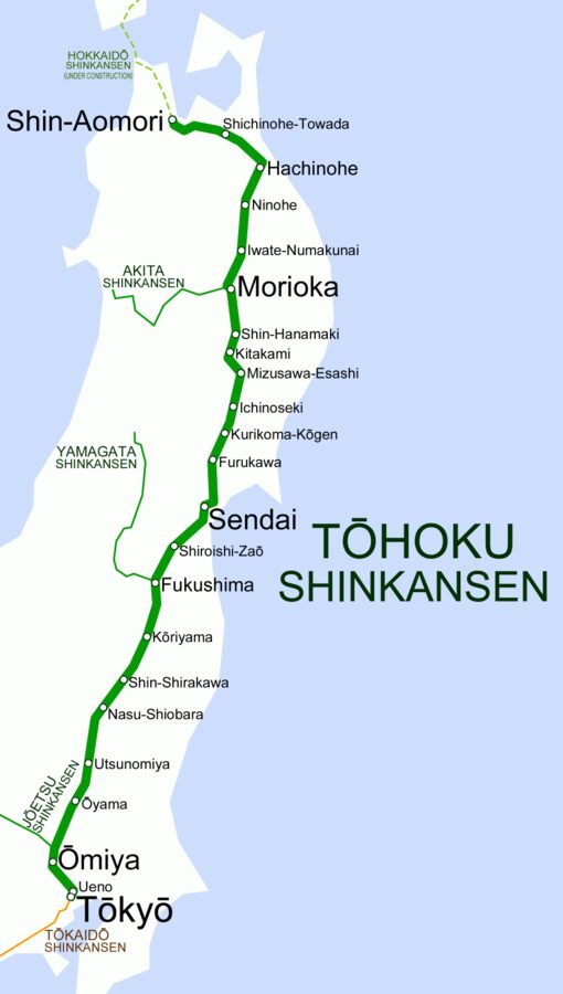
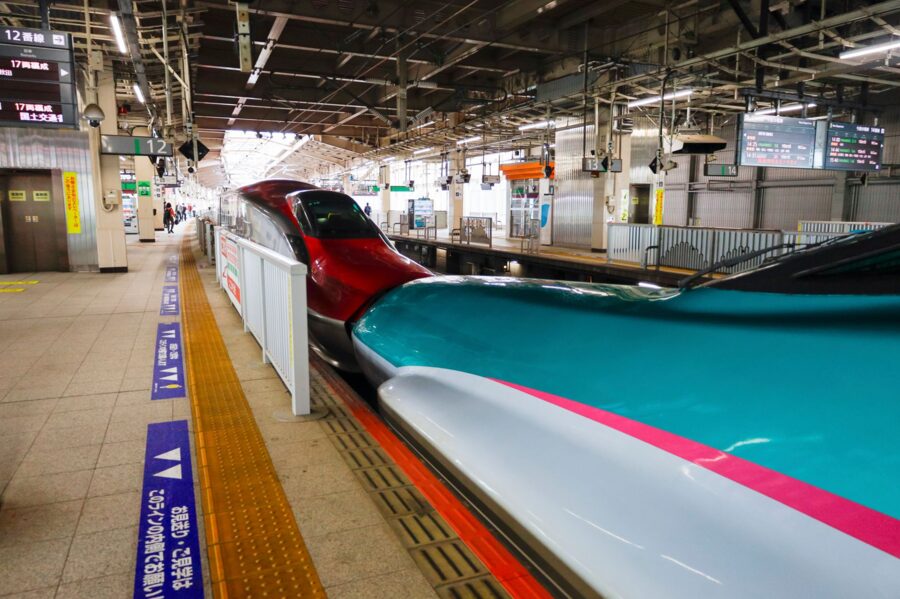
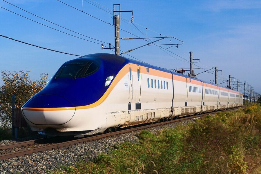
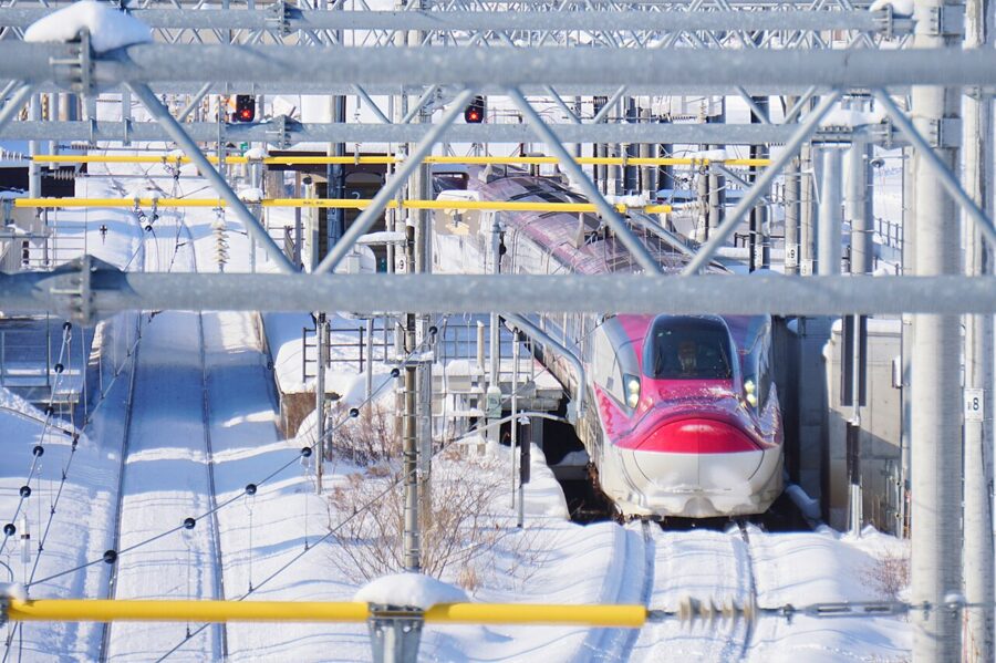
The main line runs from Tokyo through Omiya, Utsunomiya, Koriyama, Fukushima and Sendai to Morioka, then on through Hachinohe to Shin-Aomori, where the Hokkaido Shinkansen takes over. The Hayabusa is the fast, all-reserved train with few stops; the Yamabiko stops more often and mostly turns back at Sendai or Morioka; the Nasuno rarely goes beyond Koriyama.

On the December 2026 weekday timetable the fastest Hayabusa takes 1 hour 30 minutes to Sendai, 2 hours 10 minutes to Morioka and 2 hours 58 minutes to Shin-Aomori; the slowest take nearer two hours to Sendai and three and a quarter to Shin-Aomori. About twenty regular trains a day run through to Shin-Aomori. As of April 2026, after JR East raised fares that March, a reserved Hayabusa seat from Tokyo cost ¥11,630 (about £56 / $73) to Sendai and ¥18,110 (about £87 / $114) to Shin-Aomori in the regular season.
The Akita and Yamagata Shinkansen
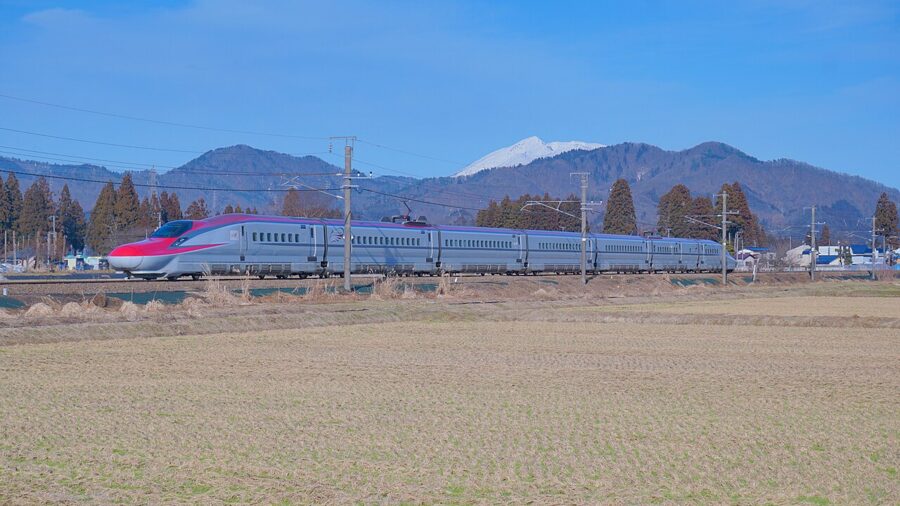
Two branches leave the main line on widened conventional track, which is why their trains are narrower and slower beyond the junction. The Komachi runs coupled to a Hayabusa to Morioka, then climbs west on the Tazawako Line through Tazawako and Kakunodate to Omagari and Akita. The fastest takes 3 hours 37 minutes from Tokyo, most a little under four, with about fifteen regular trains a day.

The Tsubasa usually runs coupled to a Yamabiko as far as Fukushima, then turns west over the Itaya Pass to Yonezawa, Yamagata and Shinjo. Since March 2026 every Tsubasa uses the new E8 trains; the fastest reaches Yamagata in 2 hours 22 minutes and Shinjo in 3 hours 7 minutes, and a typical Yamagata run is about 2 hours 45 minutes. Both branches share track with local trains and cross level crossings, so snow and animals delay them more than the main line.
Flights
Flying from Tokyo only beats the train for the far corners. In November 2026 Akita had nine departures a day to Haneda on ANA and JAL, Shonai, between Tsuruoka and Sakata, had five ANA return flights a day of about 65 minutes, and Yamagata and Aomori had JAL flights to Haneda. From Osaka, Nagoya or Sapporo, flying into Aomori, Akita or Yamagata saves the long run through Tokyo.
Sendai Airport is the international gateway, with flights to Taiwan, a Seoul route announced for late 2026, and a rail link into Sendai Station. Aomori had flights to Seoul and Taipei and Akita a twice-weekly Taipei service. These routes change by season.
Night buses
JR Bus Tohoku runs the Dream night buses from Tokyo to Aomori and Morioka, to Akita, to Yamagata and Yonezawa, and to Fukushima and Koriyama. The Dream Aomori leaves the south Yaesu side of Tokyo Station at 22.10, reaches Morioka at 5.47 and Aomori at 8.42. As of November 2026 fares to Aomori ran from ¥3,900 to ¥13,600 (about £19 to £65 / $25 to $86) depending on date and booking channel, and Sendai to Shinjuku buses started at ¥3,000 (about £14 / $19).
Ferries
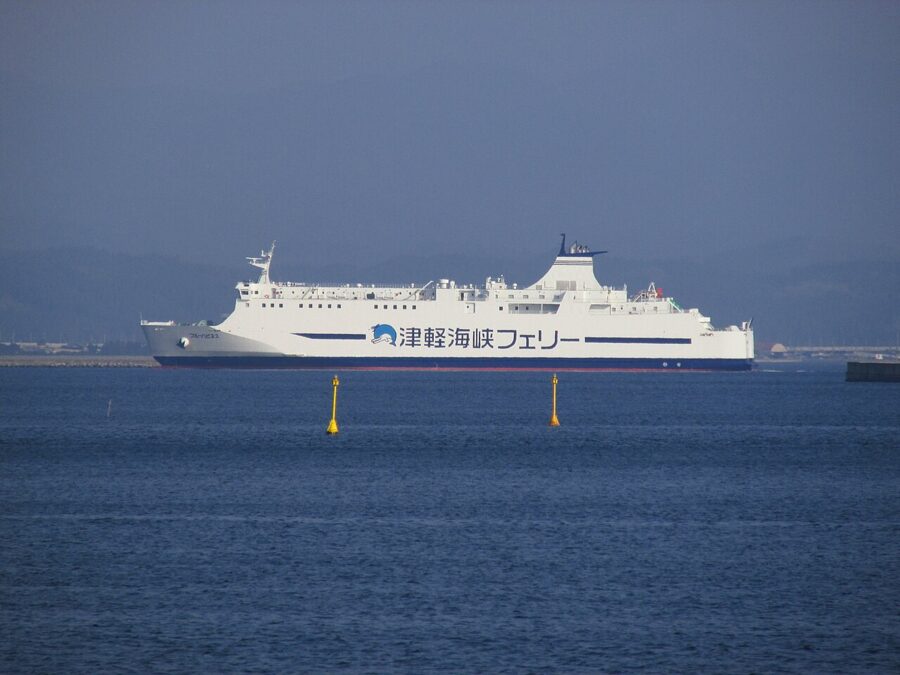
Tsugaru Kaikyo Ferry sails between Aomori and Hakodate six times a day in 3 hours 40 minutes, and between Oma, at the tip of Shimokita, and Hakodate twice a day in 90 minutes. Silver Ferry links Hachinohe with Tomakomai, and Taiheiyo Ferry links Sendai with Tomakomai and Nagoya. On the Sea of Japan side Shin Nihonkai Ferry calls at Akita between Tsuruga, Niigata and Tomakomai, three days a week each way on its standard schedule, with a different winter pattern announced from 12 January 2027.

Getting around
The Shinkansen does the north-south work; everything else is a local line, a bus or a car. On many rural lines a train an hour is a good service, so plan around the timetable, not the map distance.
The JR East Pass
On 14 March 2026 JR East replaced its regional passes with a single JR East Pass covering Tohoku, Nagano, Niigata, Tokyo and the Kanto area. It costs ¥35,000 (about £168 / $220) for five consecutive days or ¥50,000 (about £240 / $315) for ten, children half price. It covers reserved seats on JR East Shinkansen, limited expresses and local trains, its BRT routes, and the Aoimori Railway, IGR Iwate Galaxy Railway and Sanriku Railway. A return trip from Tokyo to Shin-Aomori costs more than the five-day pass.
Two things catch people out. The days are consecutive, so a week with quiet days in the middle needs the ten-day version or careful timing. And some sightseeing trains, such as the Tohoku Emotion, are sold only as meal packages that the pass cannot book. For a trip into Hokkaido, the JR East–South Hokkaido Rail Pass, widened in March 2026 to take in Niigata, costs ¥40,000 (about £190 / $250) for six days.
Local lines worth riding
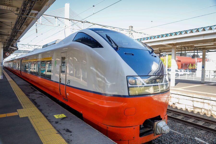
The Gono Line follows the Sea of Japan coast between Akita and Aomori prefectures, and the Resort Shirakami rapid covers it from Akita to Aomori with big windows and photo stops. It takes about four and a half hours between Akita and Hirosaki, against about two on the Tsugaru limited express inland, and runs on fewer days in winter.
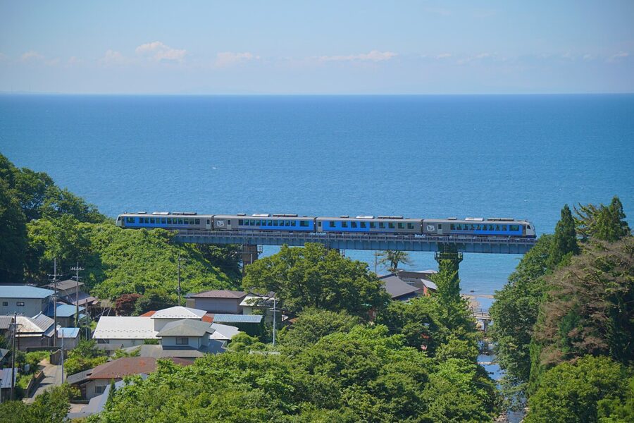

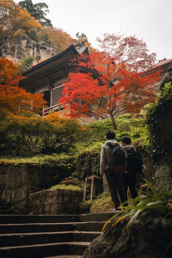
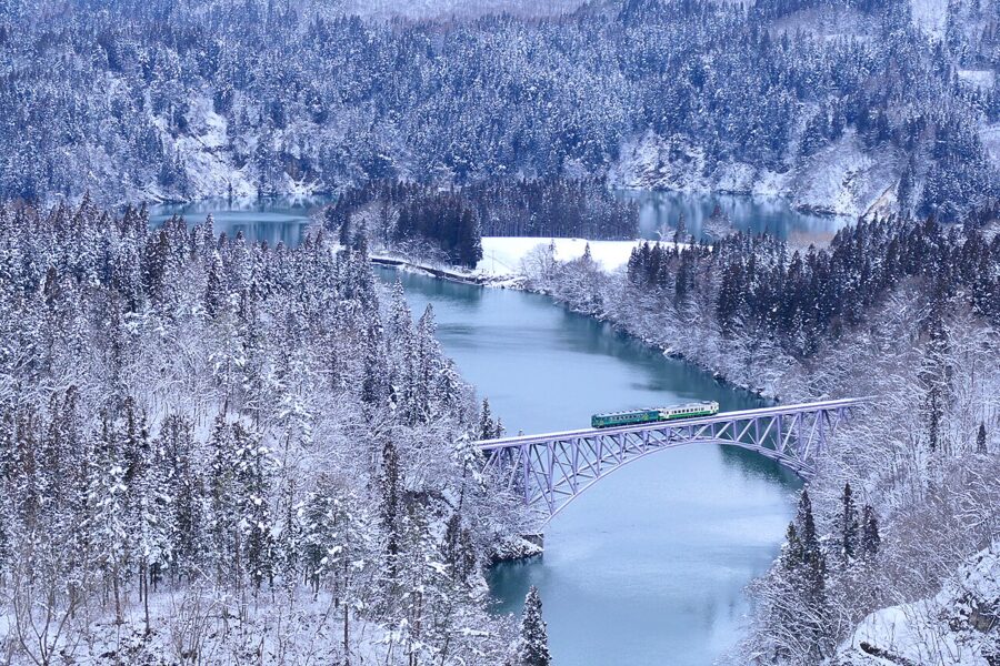
The Senzan Line links Sendai and Yamagata in about 1 hour 25 minutes, stopping at Yamadera after about an hour, so the temple is an easy day out from either city. The Kamaishi Line crosses the Kitakami Mountains from Hanamaki to Kamaishi on the coast. In Fukushima the Tadami Line between Aizu-Wakamatsu and Koide in Niigata reopened throughout in 2022 after eleven years of flood damage, and its river bridges are the best-known railway views in the region.

The Sanriku coast: train, BRT and the expressway
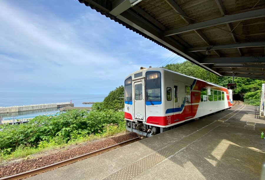
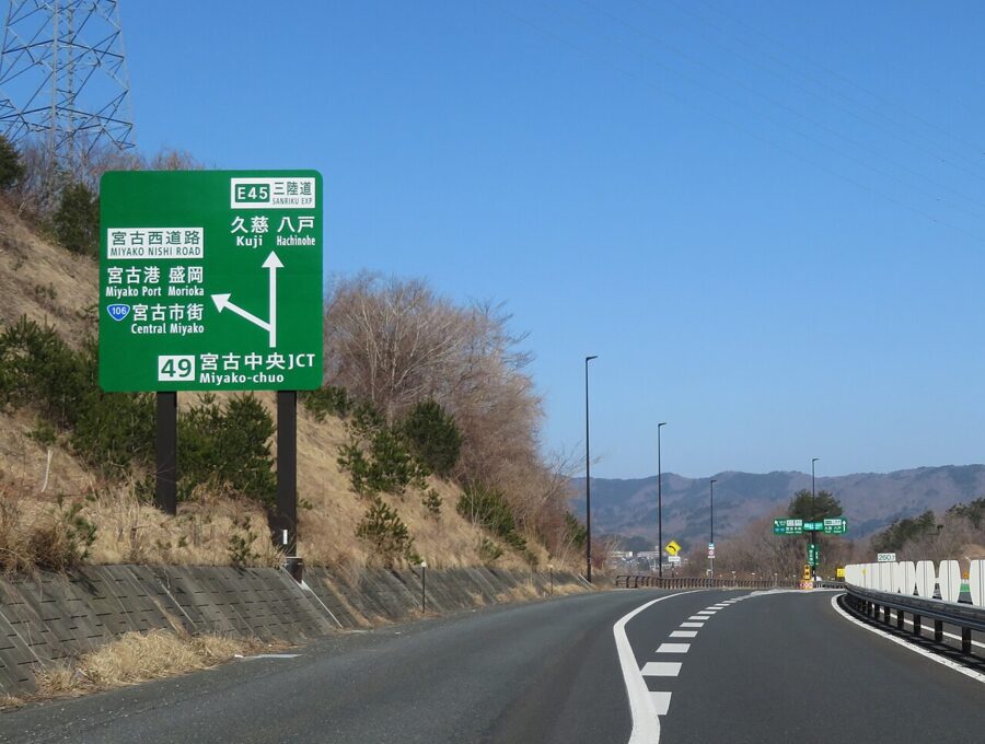
The Pacific coast north of Sendai was the part of Tohoku worst hit by the 2011 tsunami, and its transport was rebuilt in a new shape. The Sanriku Railway Rias Line now runs 163 kilometres from Sakari in Ofunato through Kamaishi and Miyako to Kuji, after JR East handed over the Miyako to Kamaishi section in 2019. A typhoon cut about seventy percent of it that October, the whole line reopened in 2020, and it was running normally in November 2026.
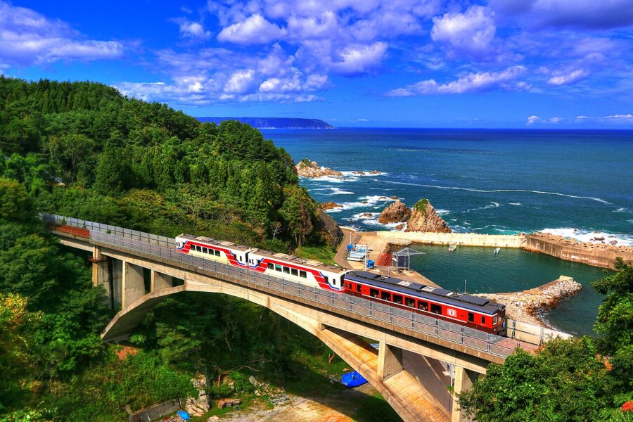

Between Miyako and Kuji the line is mostly tunnel, broken by bursts of sea at stations such as Fudai and Horinai. On winter weekends the kotatsu trains, carriages with heated low tables, run this section; for the 2026 season a sea-side box for up to four cost ¥14,000 (about £67 / $88) and a shared pair of seats ¥6,000 (about £29 / $38), booked at least three days ahead.
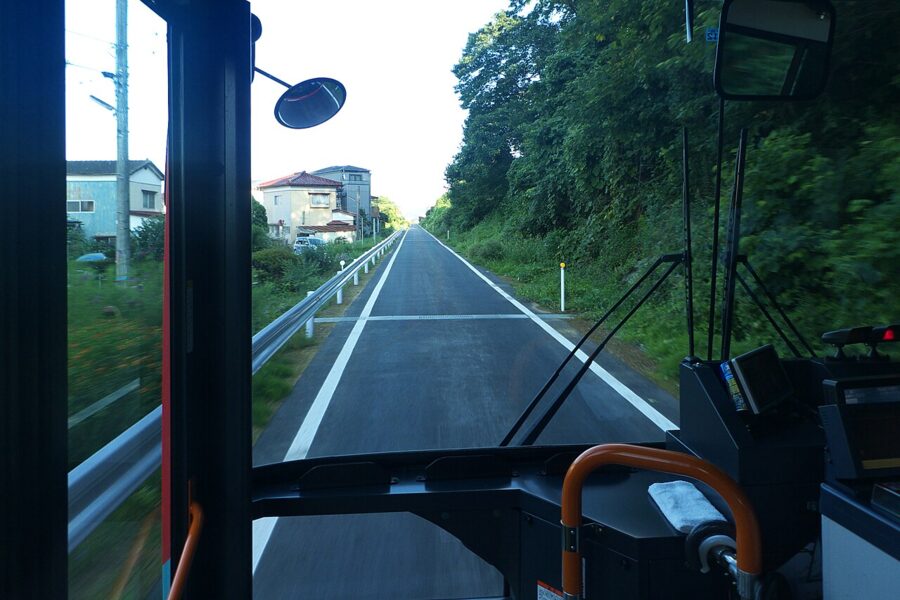
South of Sakari there is no train. The JR Ofunato and Kesennuma lines were replaced by BRT, buses running on the old railway bed where they can and on roads where they cannot, through Rikuzentakata, Kesennuma and Minamisanriku to Yanaizu. It is slower than a train, but it counts as JR East for the pass and ties the Rias Line back to the network near Sendai.

The Sanriku Coast Expressway opened in full on 18 December 2021, 359 kilometres between Sendai and Hachinohe, and more than 330 kilometres of it are toll-free. It runs inland of most headlands, so you leave it to see the coast.

Where a car is the right answer
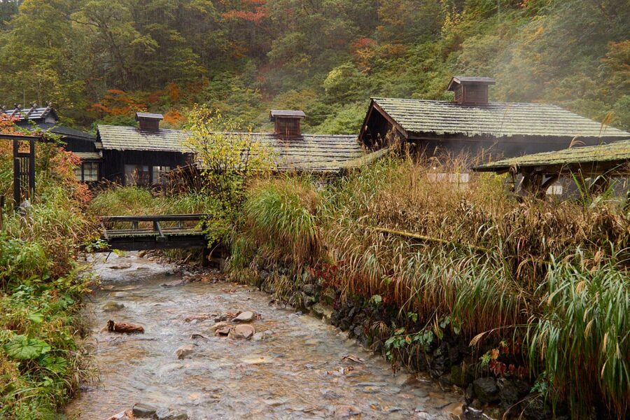
I would hire a car for the mountain onsen villages such as Nyuto, Sukayu and Tsuta, which see one or two buses a day if any; for the Sanriku headlands and small ports rather than the railway towns; and for the Shirakami Mountains and the Hachimantai plateau outside the bus season. Ride the Shinkansen to Morioka, Akita, Hachinohe or Shin-Aomori and pick the car up there. Tohoku has more than 180 michi-no-eki, the registered roadside rest stops with toilets and local produce, which tells you how much of it is meant to be seen by road.
Lines that are closed or changing
Several rural lines are not running as their maps suggest. The Rikuu East Line between Naruko Onsen and Shinjo has been closed since floods in July 2024; JR East said in July 2026 that it expects repairs to finish in the 2028 financial year, and replacement buses take 77 to 100 minutes. The Rikuu West Line between Shinjo and Amarume reopened on 16 January 2026 after road tunnel works, with nine trains each way a day.
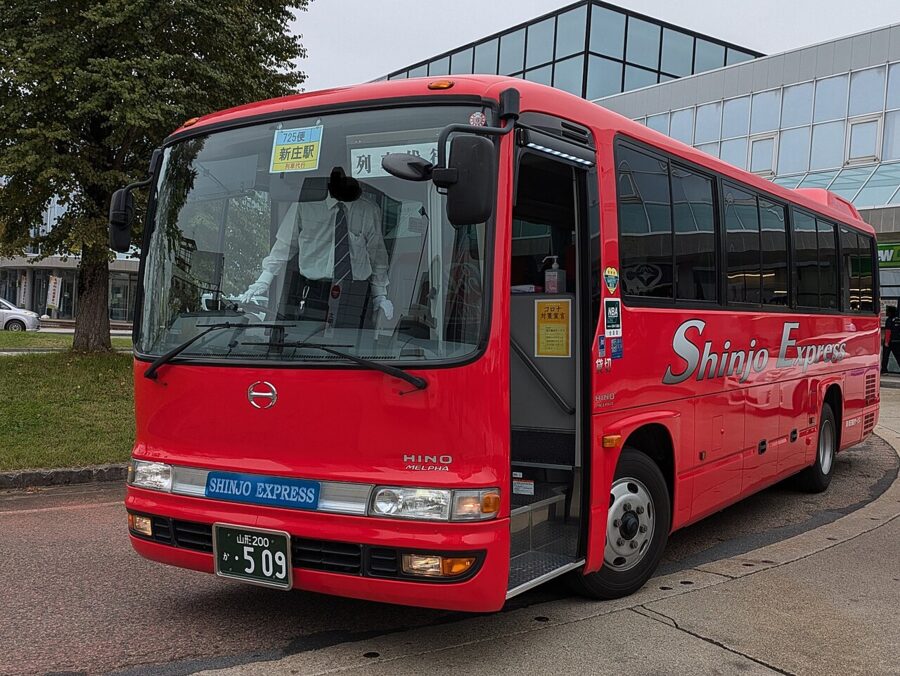

The Yonesaka Line between Imaizumi and Sakamachi has run on replacement buses since floods in August 2022, and in late 2026 the Niigata side was moving towards a permanent switch to buses. The Tsugaru Line north of Kanita is due to give way to road transport in April 2027. The Yamada Line between Morioka and Miyako is suspended for works from late November to early December 2026, with the 106 express bus covering the route.
Four routes that work
Each of these runs on the JR East Pass plus the odd bus, and each ends at a Shinkansen station so you can be back in Tokyo the same evening.
The Sea of Japan side, south from Aomori (six to seven days)
Ride to Shin-Aomori and give a day each to Aomori and Hirosaki. Take the Resort Shirakami down the Gono Line to Akita, a day on the train in itself, and stay a night or two for Oga. From Akita the Inaho limited express runs down the coast past Kisakata and Mount Chokai to Sakata in about an hour and a half and Tsuruoka in under two, with the Dewa Sanzan, the three sacred mountains, a bus ride inland. The same train continues to Niigata for the Joetsu Shinkansen back to Tokyo.
The Pacific coast, north to south (five to six days)
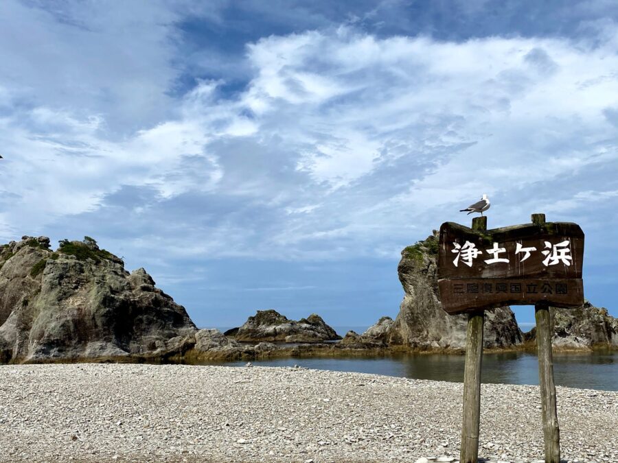
Start at Hachinohe and take the Hachinohe Line along the coast to Kuji. The Sanriku Railway then runs south to Miyako, where a night gives you Jodogahama, and on through Kamaishi to Sakari. From Sakari the BRT carries you through Rikuzentakata and Kesennuma to Yanaizu, with trains onward towards Ishinomaki and Sendai, and Matsushima Bay less than half an hour short of Sendai on the Senseki-Tohoku Line. Allow a day more than you think; the connections work, but not often.
The inland onsen route (five to seven days)
This one follows the Ou Mountains north through hot spring towns. Begin in Aizu-Wakamatsu, then go round by Koriyama and Fukushima for the Tsubasa to Yonezawa and Yamagata, with a night at Zao Onsen if the season suits. Ride on to Oishida for the bus to Ginzan Onsen, then to Shinjo.
With the Rikuu East Line closed, the replacement bus takes you on to Naruko Onsen, after which trains run to Furukawa for the Shinkansen north to Ichinoseki and Hiraizumi. Finish on the Komachi from Morioka to Tazawako for the buses to Nyuto Onsen, then go on to Kakunodate.
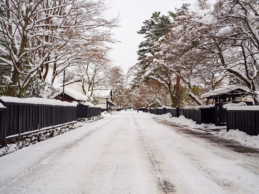

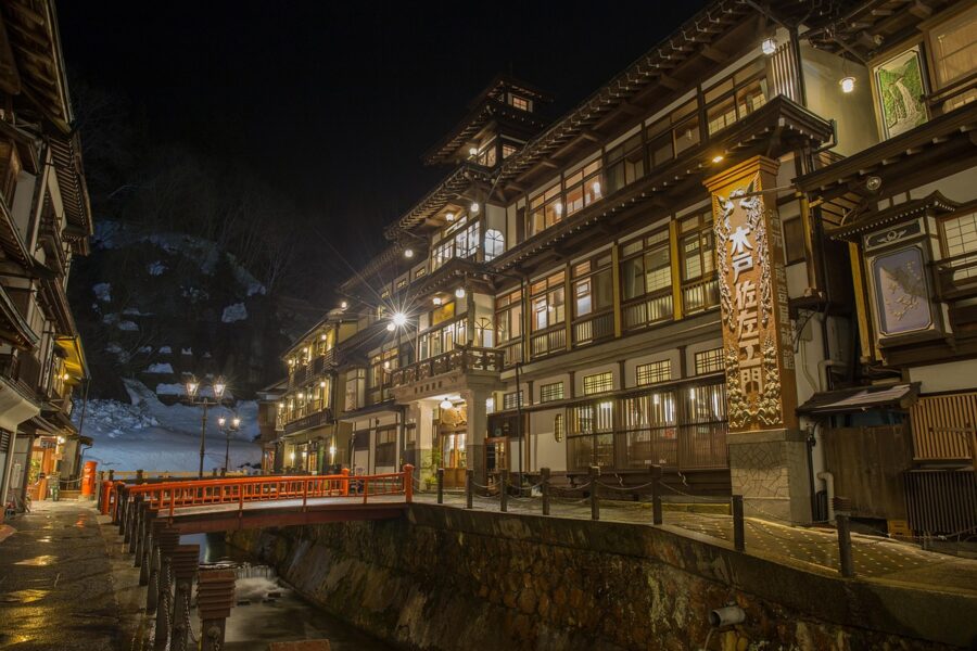
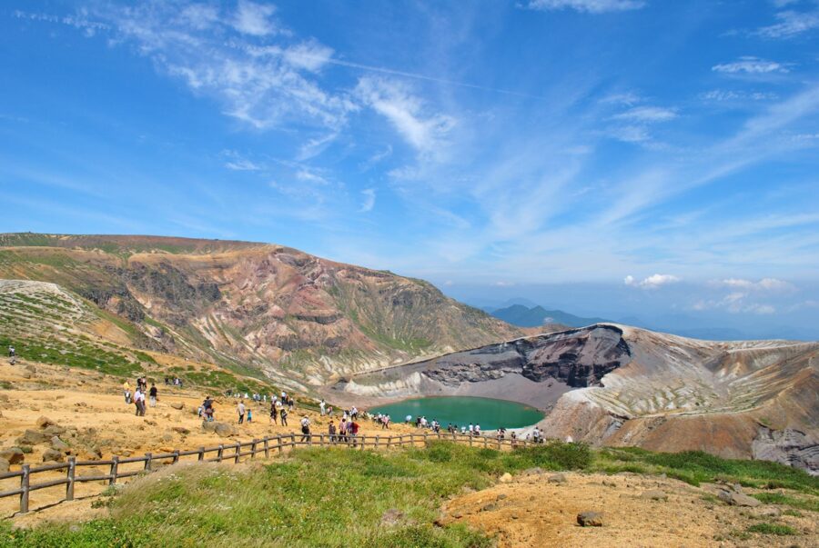
A first trip: Sendai, Hiraizumi and the north (four days)
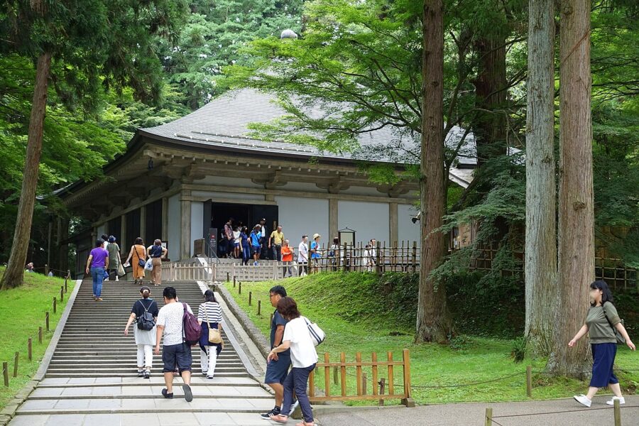
With only a few days, spend a night in Sendai with a half-day at Matsushima, then ride to Ichinoseki for Hiraizumi, whose temples Chuson-ji and Motsu-ji are part of a World Heritage Site. Continue to Morioka, then either take the Komachi to Kakunodate or carry on to Aomori for the Oirase Gorge and Lake Towada. Everything here is on the Shinkansen or an hour’s bus from it.
Snow, seasons and what closes
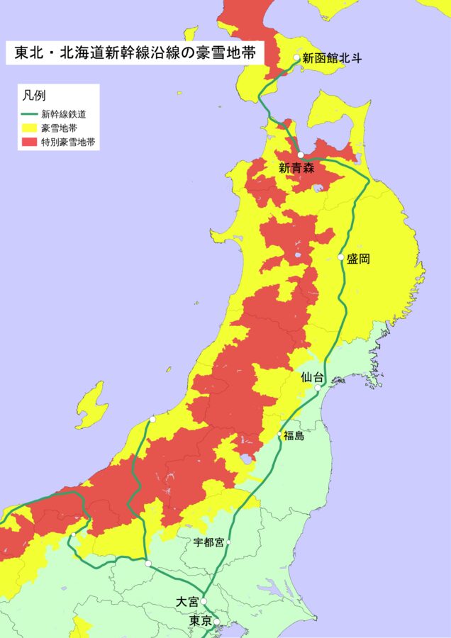
Tohoku has two climates either side of the spine. The Sea of Japan side and the mountains take the winter monsoon head-on and get deep snow; the Pacific side, Sendai and the Sanriku coast included, is colder than Tokyo but often dry and bright. The main Shinkansen line rarely stops for snow; the mini-Shinkansen branches, the Sea of Japan coast lines and the mountain lines are the ones that do.

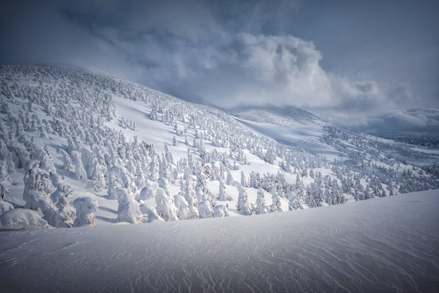
Mountain roads show it most clearly. The Zao Echo Line closed on 4 November 2026 and is due to reopen in late April 2027. The Hachimantai Aspite Line, the Bandai-Azuma Skyline in Fukushima and Route 103 over the Hakkoda Mountains between Sukayu and Yachi Onsen also close for the winter. The Aspite Line and the Hakkoda road reopen in spring between walls of cleared snow, a sight in their own right.
If a route crosses a high pass, assume it is shut from November to April and check the prefecture’s road information before you drive.
Spring comes late and fast, with cherry blossom in Sendai in April and Hirosaki at the end of the month. August brings the Nebuta in Aomori, the Kanto in Akita and the Tanabata in Sendai, which fill every hotel along the line; these summer festivals are among the best-known faces of Japanese culture. Autumn colour starts on the high plateaus in late September and reaches the valleys by early November.

Where to start
For a first visit I would start in Iwate. It sits at the centre of the map, with Morioka on the Shinkansen, Hiraizumi to the south, the Komachi branching west to Akita and the Yamada and Kamaishi lines running east to the coast.
For a second trip, cross the spine. The Sea of Japan side and the onsen valleys of Yamagata and Akita are where the slow lines are, and the slow lines are where Tohoku is. The Hayabusa will still have you at the top of Honshu before lunch; spend the time it saves on the trains that branch off it.