
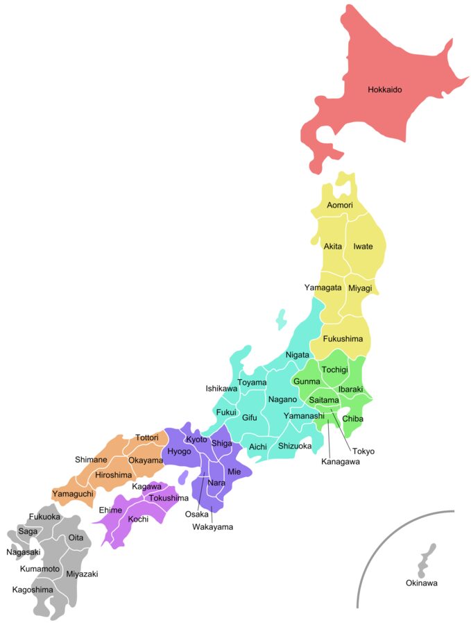
Most maps of Japan put Okinawa in a small box in the bottom corner, and that box hides the most useful fact about the country’s size. Naha, the Okinawan capital, sits about 1,550 kilometres from Tokyo in a straight line, and only about 630 kilometres from Taipei. Hokkaido at the other end is drawn at full scale, so the whole country looks more compact than it is.
Read the map properly and Japan turns into a long chain rather than a compact island group. In a straight line Wakkanai, at the northern tip of Hokkaido, is nearly 2,900 kilometres from Yonaguni, the last island before Taiwan. Most of the people, the cities and the fast trains sit along a narrow band in the middle, between Tokyo and Fukuoka, and how long a journey takes depends far more on whether you stay on that band than on the distance.
What follows is the map in words: the islands, the eight regions and their 47 prefectures, the Shinkansen lines and the flights that join them, the distances that catch people out, and how to string the regions into a route. Times are from Tokyo and Osaka on the fastest public transport, as of November 2026.

Contents
Four main islands and a great many small ones
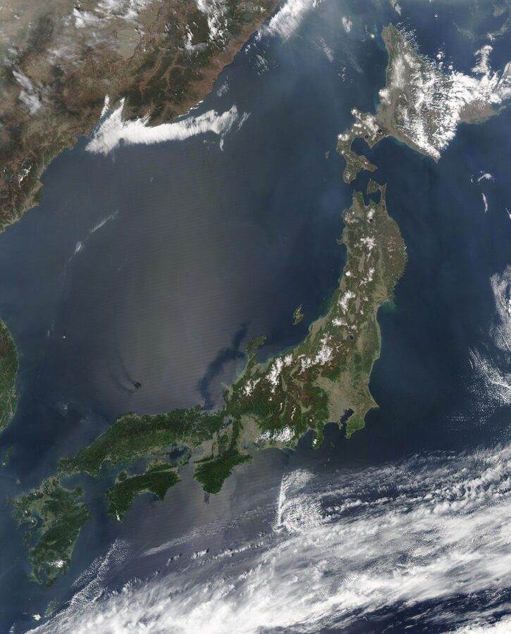
Japan is four large islands with a long tail. Honshu (本州), the main island, covers about 228,000 square kilometres and holds Tokyo, Osaka, Kyoto, Nagoya and Hiroshima. Hokkaido (北海道) to the north is about 78,000, Kyushu (九州) in the south-west about 37,000, and Shikoku (四国), tucked under western Honshu across the Seto Inland Sea, about 18,000. Together the country covers roughly 378,000 square kilometres, a little larger than Germany.
The small islands are where the counting gets interesting. In February 2023 the Geospatial Information Authority of Japan recounted every natural piece of land with a coastline of at least 100 metres on its digital base map and arrived at 14,125 islands. The figure quoted for decades had been 6,852; nothing new had appeared, the survey simply counted more carefully. Nagasaki Prefecture has the most, with 1,479.
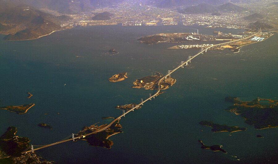
Tunnels and bridges tie the main islands into one railway. The Seikan Tunnel, about 54 kilometres long, carries the Hokkaido Shinkansen under the Tsugaru Strait. The Kanmon tunnels and bridge cross the narrow strait between Shimonoseki and Kitakyushu into Kyushu, and the Great Seto Bridge carries trains and cars over the Inland Sea to Shikoku.
The island chains
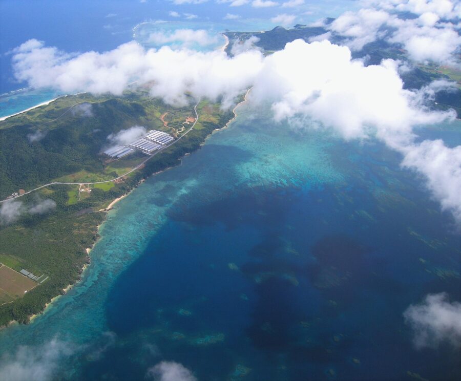
South-west of Kyushu, the Nansei Islands run in a long arc towards Taiwan: first the Osumi group with Yakushima and Tanegashima, then the Amami Islands (both still part of Kagoshima Prefecture), then Okinawa Prefecture with Okinawa Island, the Miyako and Yaeyama groups. Yonaguni, at the very end, lies about 110 kilometres from the coast of Taiwan.
South of Tokyo, the Izu Islands string out into the Pacific, and far beyond them lie the Ogasawara (Bonin) Islands, a World Heritage Site and still part of Tokyo. Off the Sea of Japan coast are Sado, Oki and, nearer Korea, Tsushima and Iki; west of Nagasaki are the Goto Islands. Most of these are reached by ferry or short flights from the nearest prefectural capital, not from Tokyo.
The eight regions and 47 prefectures
Japan is divided into 47 prefectures, and for most purposes, school atlases included, they are grouped into eight regions. The regions have no government of their own; they are a geographer’s shorthand and a planner’s best friend, because each one roughly matches a block of the transport network.
| Region | Prefectures | Main gateway |
|---|---|---|
| Hokkaido (北海道) | Hokkaido | Sapporo (New Chitose Airport) |
| Tohoku (東北) | Aomori, Iwate, Miyagi, Akita, Yamagata, Fukushima | Sendai |
| Kanto (関東) | Ibaraki, Tochigi, Gunma, Saitama, Chiba, Tokyo, Kanagawa | Tokyo |
| Chubu (中部) | Niigata, Toyama, Ishikawa, Fukui, Yamanashi, Nagano, Gifu, Shizuoka, Aichi | Nagoya, Kanazawa, Niigata |
| Kansai or Kinki (関西・近畿) | Mie, Shiga, Kyoto, Osaka, Hyogo, Nara, Wakayama | Osaka |
| Chugoku (中国) | Tottori, Shimane, Okayama, Hiroshima, Yamaguchi | Hiroshima, Okayama |
| Shikoku (四国) | Tokushima, Kagawa, Ehime, Kochi | Takamatsu, Matsuyama |
| Kyushu and Okinawa (九州・沖縄) | Fukuoka, Saga, Nagasaki, Kumamoto, Oita, Miyazaki, Kagoshima, Okinawa | Fukuoka, Naha |
The prefectures themselves come in four kinds, and the names show it. Tokyo is a to (都, metropolis), Hokkaido a do (道, circuit), Osaka and Kyoto are fu (府, urban prefectures), and the other 43 are ken (県). The system dates from 1871, when the Meiji government abolished the feudal domains and replaced them with prefectures, then merged them down over the following years. The count reached 47 in its present form on 15 May 1972, when Okinawa returned to Japanese administration.
What each region is like
Hokkaido is a single prefecture covering more than a fifth of the country, with wide farmland, volcanic mountains and long, snowy winters. Distances inside it are large: Sapporo to Wakkanai or Kushiro is a flight or a long train ride, not a day trip.
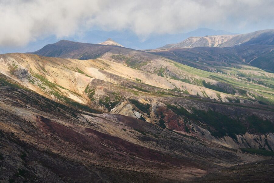
Tohoku is the northern third of Honshu, six prefectures of mountains, rice plains and two very different coasts. One fast line runs up the middle; the Tohoku map and routes guide covers the corridors, the slow lines across the mountains and the roads that close in winter. Iwate, at the centre of the region, makes the easiest first base.
Kanto is the Kanto Plain and the hills around it: Tokyo, Yokohama and their suburbs, with roughly a third of the country’s people. For a traveller it is the hub rather than the destination, with Nikko, Kamakura and the Boso Peninsula as the classic escapes.
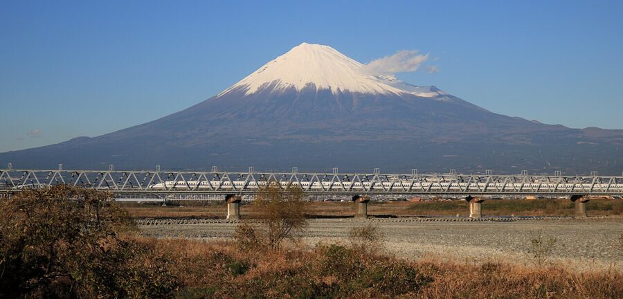
Chubu is the widest region and the least unified. Its Sea of Japan side, Hokuriku, runs from Niigata through Toyama and Kanazawa to Fukui; its middle is the high country of Nagano, Gifu and Yamanashi, with the Japanese Alps; its Pacific side, Tokai, is the industrial belt around Nagoya and Shizuoka. Mount Fuji stands on the Yamanashi and Shizuoka border.
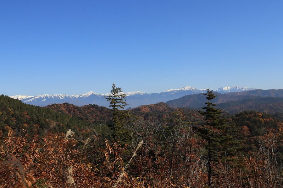
Kansai is the old heartland: Osaka for food and nights out, Kyoto Prefecture for the temples and the old capital, Nara Prefecture for the even older one, Kobe and the Hyogo coast, and the Kii Peninsula’s mountains to the south. Shiga holds Lake Biwa, the largest lake in Japan, and Mie holds the shrines at Ise.
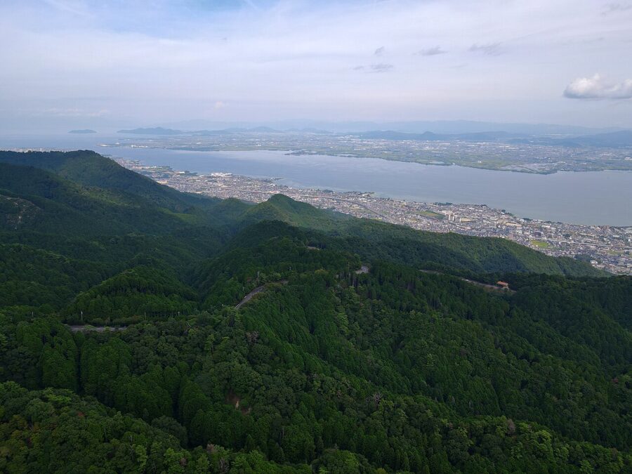

Chugoku, the western tip of Honshu, has two faces. The sunny Inland Sea side, San’yo, carries the Shinkansen through Okayama, Hiroshima and Yamaguchi; the Sea of Japan side, San’in, with Tottori and Shimane, is quieter, slower and greener. The Chugoku region guide joins the two.
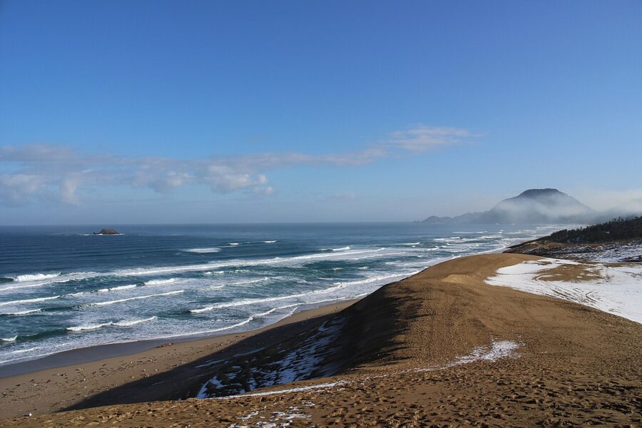

Shikoku is the smallest main island, four prefectures around a mountainous core, and best known for its 88-temple pilgrimage. It has no Shinkansen; trains arrive over the Great Seto Bridge from Okayama.
Kyushu is volcanic, warm and food-proud, with Fukuoka as its city, Nagasaki and Kagoshima at its far corners, and the calderas of Aso and the cone of Sakurajima in between. Okinawa is grouped with it but feels like a different country: the old Ryukyu Kingdom, subtropical, reached almost entirely by air.
The Shinkansen network
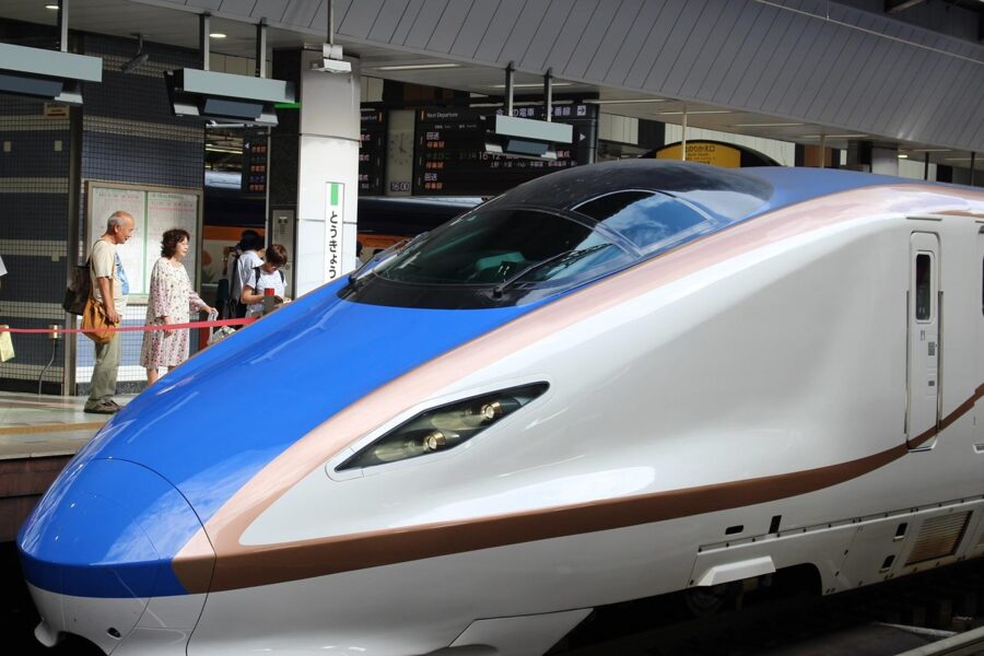
The Shinkansen is the frame of the map. One trunk line runs west along the Pacific side of Honshu, crosses into Kyushu and carries on to Kagoshima; from Tokyo, other lines fan out north and north-west. Wherever the Shinkansen runs, regions join up in hours; where it stops, journeys slow to limited expresses and local trains.

The western trunk: Tokaido, San’yo and Kyushu
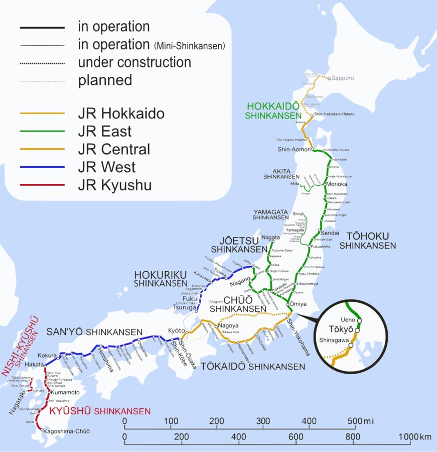
The Tokaido Shinkansen runs Tokyo, Nagoya, Kyoto and Shin-Osaka. JR Central gives the fastest Nozomi as 2 hours 21 minutes to Shin-Osaka, and every Nozomi does it in 2 hours 30 minutes or less. Beyond Shin-Osaka the San’yo Shinkansen continues through Kobe, Okayama and Hiroshima to Hakata in Fukuoka, and many Nozomi run straight through.
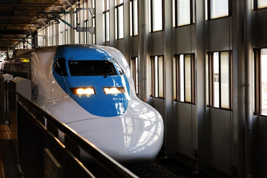
On the December 2026 timetable a typical through Nozomi takes about 1 hour 35 minutes between Tokyo and Nagoya, 2 hours 12 minutes to Kyoto, 3 hours 50 minutes to Hiroshima and just under five hours to Hakata. From Hakata, the Kyushu Shinkansen carries on south to Kagoshima-Chuo; the fastest train takes 1 hour 16 minutes, and the fastest Mizuho from Shin-Osaka does the whole run in 3 hours 41 minutes.
Nagasaki has its own short line. The Nishi-Kyushu Shinkansen opened in September 2022 between Takeo-Onsen and Nagasaki and is not yet joined to the rest of the network, so from Hakata you take the Relay Kamome limited express to Takeo-Onsen and change across the platform.

North and north-west from Tokyo
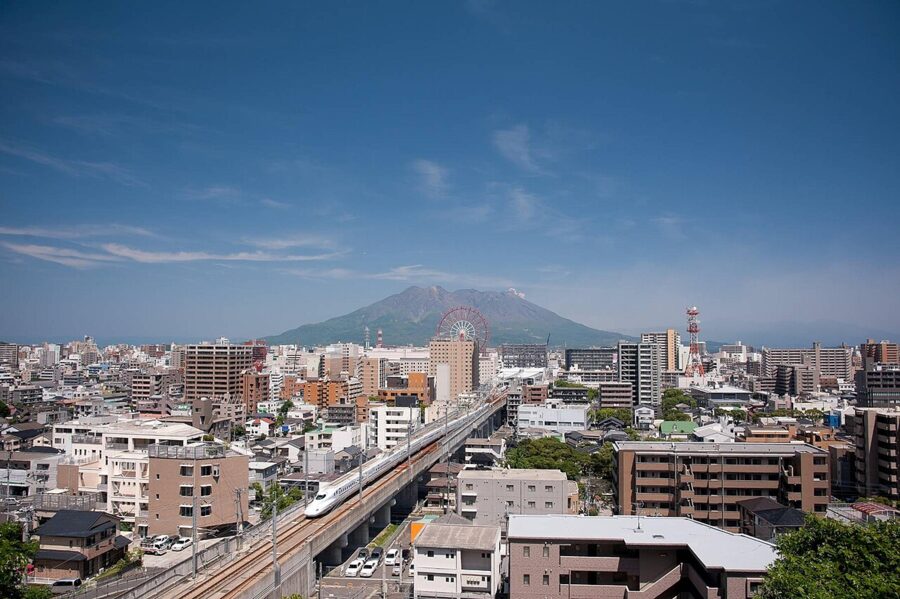
Every line north of Tokyo starts from Tokyo Station, with a stop at Ueno, on JR East tracks. The Tohoku Shinkansen reaches Sendai in 1 hour 30 minutes on the fastest Hayabusa, Morioka in 2 hours 10 minutes and Shin-Aomori in 2 hours 58 minutes. Two narrower branches leave it: the Akita Shinkansen to Akita, 3 hours 37 minutes at best, and the Yamagata Shinkansen to Yamagata, 2 hours 22 minutes. The Joetsu Shinkansen runs north-west through the mountains to Niigata on the Sea of Japan.
Beyond Shin-Aomori, the Hokkaido Shinkansen dives under the strait to Shin-Hakodate-Hokuto. The fastest normal run from Tokyo takes 3 hours 57 minutes, with a few trains cut to 3 hours 51 minutes over the New Year holiday when the trains run faster through the Seikan Tunnel. The extension to Sapporo is still being built; a government panel put its opening at around the end of the 2038 financial year.
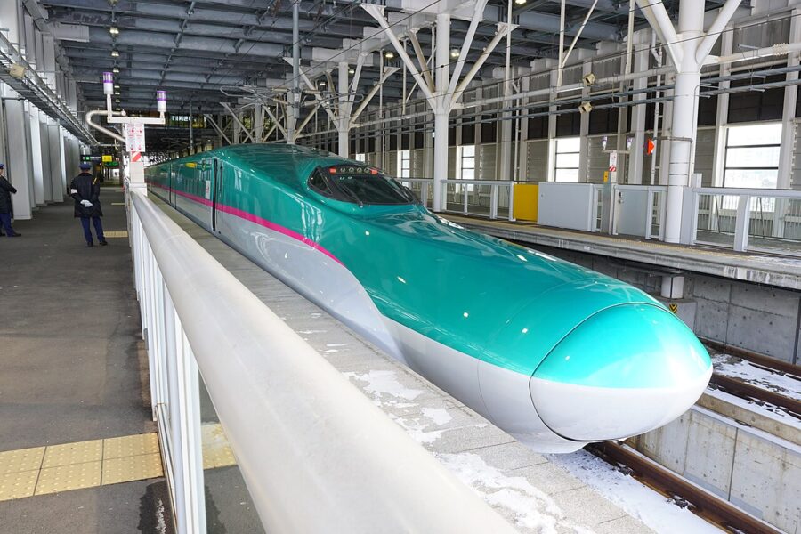

The Hokuriku Shinkansen runs through Nagano and Toyama to Kanazawa and, since March 2024, on to Fukui and Tsuruga. After the March 2026 timetable change the fastest Kagayaki reaches Kanazawa in 2 hours 24 minutes, Fukui in 2 hours 49 minutes and Tsuruga in 3 hours 6 minutes. At Tsuruga the line simply stops, for now, and Thunderbird limited expresses carry on to Kyoto and Osaka.
Where the Shinkansen does not go
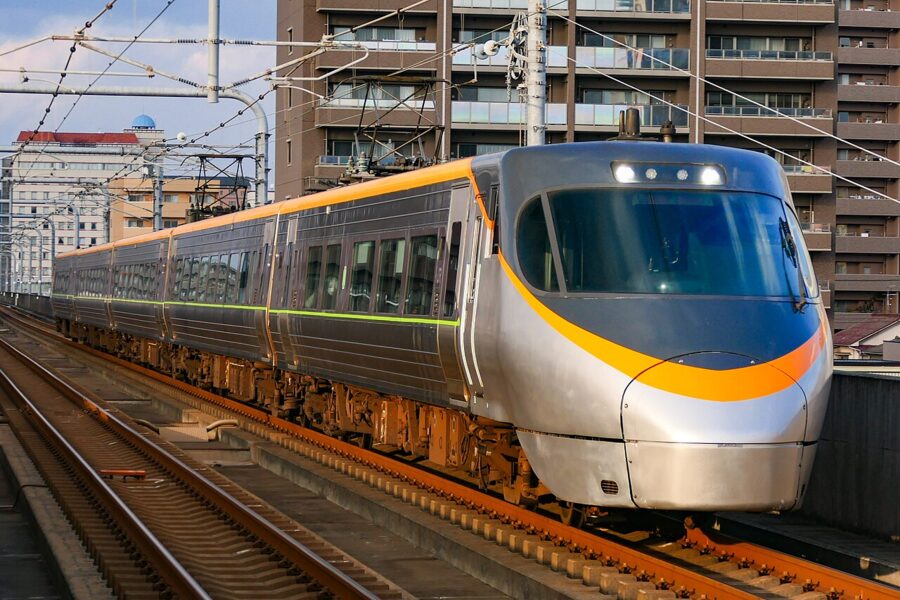
The gaps matter as much as the lines. Shikoku has no Shinkansen at all: the Marine Liner rapid crosses the Great Seto Bridge from Okayama to Takamatsu in about an hour, and limited expresses reach Matsuyama in about 2 hours 45 minutes and Kochi in about 2 hours 30 minutes. The San’in coast, most of Hokkaido beyond Hakodate, the Kii Peninsula and the east coast of Kyushu all depend on limited expresses too. Okinawa has no railway beyond Naha’s monorail.

The Chuo Shinkansen, a maglev line between Tokyo and Nagoya, is under construction largely in tunnel and has no firm opening year. For any trip planned now, the Tokaido line is the only fast way between Japan’s two largest urban areas.
Journey times at a glance
| Destination | From Tokyo | From Shin-Osaka |
|---|---|---|
| Nagoya | about 1 h 35 min (Nozomi) | about 50 min (Nozomi) |
| Kyoto | about 2 h 12 min (Nozomi) | about 15 min (Nozomi) |
| Shin-Osaka | 2 h 21 min to 2 h 30 min (Nozomi) | – |
| Okayama | about 3 h 15 min (Nozomi) | about 45 min (Nozomi) |
| Hiroshima | about 3 h 50 min (Nozomi) | about 1 h 20 min (Nozomi) |
| Hakata (Fukuoka) | just under 5 h (Nozomi) | about 2 h 30 min (Nozomi, Mizuho) |
| Kagoshima-Chuo | about 6 h 30 min with a change; usually flown | 3 h 41 min fastest (Mizuho) |
| Sendai | 1 h 30 min fastest (Hayabusa) | via Tokyo |
| Shin-Aomori | 2 h 58 min fastest (Hayabusa) | via Tokyo; usually flown |
| Shin-Hakodate-Hokuto | 3 h 57 min fastest (Hayabusa) | via Tokyo; usually flown |
| Kanazawa | 2 h 24 min fastest (Kagayaki) | Thunderbird to Tsuruga, then Shinkansen |
Times are for the timetables running in November and December 2026; the Okayama and Tokyo to Kagoshima figures assume a normal change.
The main air routes
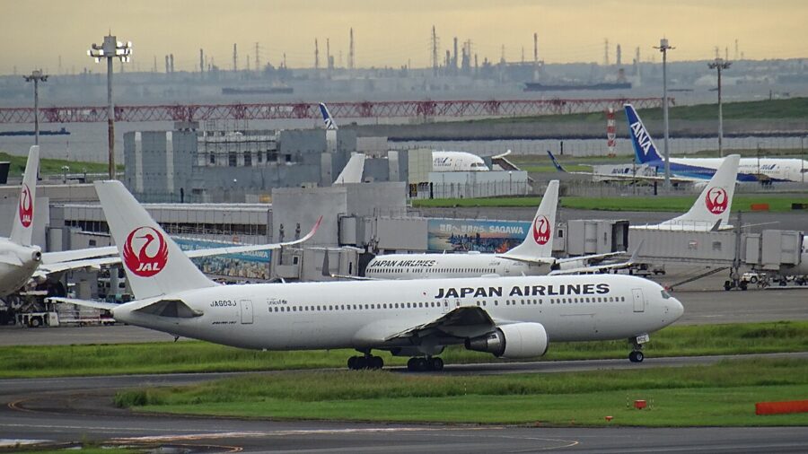
Japan’s domestic flights fill the gaps the trains leave. From Tokyo, rail wins as far as Osaka and Hiroshima and is close to even for Fukuoka; beyond that, the plane takes over. Haneda, the Tokyo airport nearer the centre, handles most domestic flights, with Narita mainly used by the low-cost airlines. Osaka has three: Itami for domestic flights, Kansai for international and low-cost routes, and Kobe.

| Route | Scheduled flight time (outbound / return) |
|---|---|
| Haneda to New Chitose (Sapporo) | 1 h 30 min to 1 h 40 min / 1 h 35 min to 1 h 45 min |
| Haneda to Fukuoka | 1 h 55 min to 2 h 10 min / 1 h 35 min to 1 h 50 min |
| Haneda to Kagoshima | 1 h 55 min to 2 h 05 min / 1 h 35 min to 1 h 40 min |
| Haneda to Naha (Okinawa) | 2 h 45 min to 3 h / 2 h 10 min to 2 h 25 min |
| Haneda to Ishigaki | about 3 h 20 min / 2 h 30 min to 2 h 40 min |
| Itami (Osaka) to New Chitose | about 1 h 50 min / 2 h to 2 h 05 min |
| Itami to Naha | 2 h 15 min to 2 h 25 min / 1 h 50 min to 2 h |
| Fukuoka to Naha | 1 h 45 min to 1 h 55 min / 1 h 35 min to 1 h 45 min |
These are the winter 2026-27 scheduled times. Flights heading west and south take noticeably longer than the return because they fly into the prevailing westerly winds; on the Okinawa run the difference is about half an hour. Add the trip to the airport and the security queue, and the Shinkansen still beats the plane door to door from central Tokyo to central Osaka.
Distances that surprise
The country’s shape plays tricks, and a few of them catch out nearly every first itinerary.
Okinawa is a long way out. Naha is about 1,550 kilometres from Tokyo and about 1,200 from Osaka, and closer to Taipei and Shanghai than to either. Ishigaki and Yonaguni are further still: a Haneda to Ishigaki flight is scheduled for about as long as two Tokyo to Sapporo flights back to back.
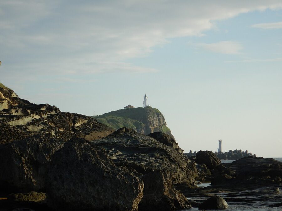
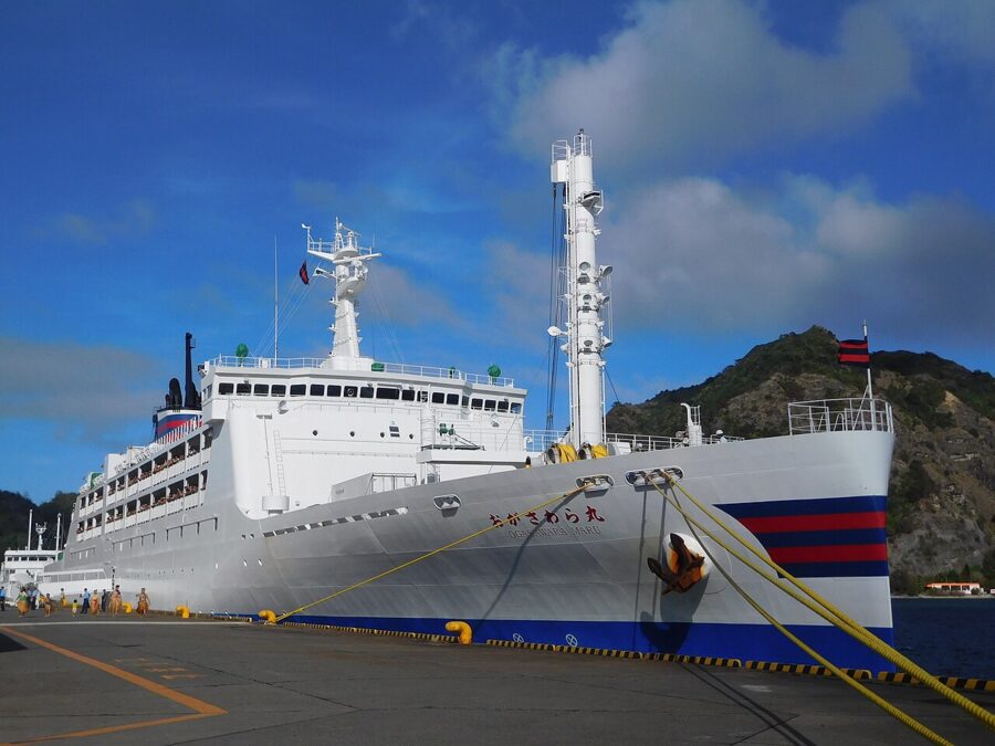
Some of Tokyo is a day’s sail away. Chichijima, the main island of the Ogasawara group, belongs to Tokyo but lies about 980 kilometres south of it, and there is no airport. The Ogasawara Maru ferry leaves Takeshiba Pier at 11.00 and arrives at 11.00 the next day, roughly once a week. In November 2026 a one-way berth in a second-class Japanese-style room cost ¥30,030 (about £145 / $190), fuel surcharge included.
Sendai is closer than Kyoto. By the fastest train from Tokyo, Sendai is 1 hour 30 minutes away and Kyoto a little over two hours. Morioka, far up in northern Tohoku, is about as far in time as Kyoto, which makes the north much easier to combine with Tokyo than the map suggests.
Fukuoka is nearer Busan than Tokyo. In a straight line Fukuoka is about 210 kilometres from Busan and about 540 from Seoul, against nearly 890 from Tokyo. That is why Kyushu has its own international links, and why it is often easier to fly into Fukuoka than to travel down from Tokyo.
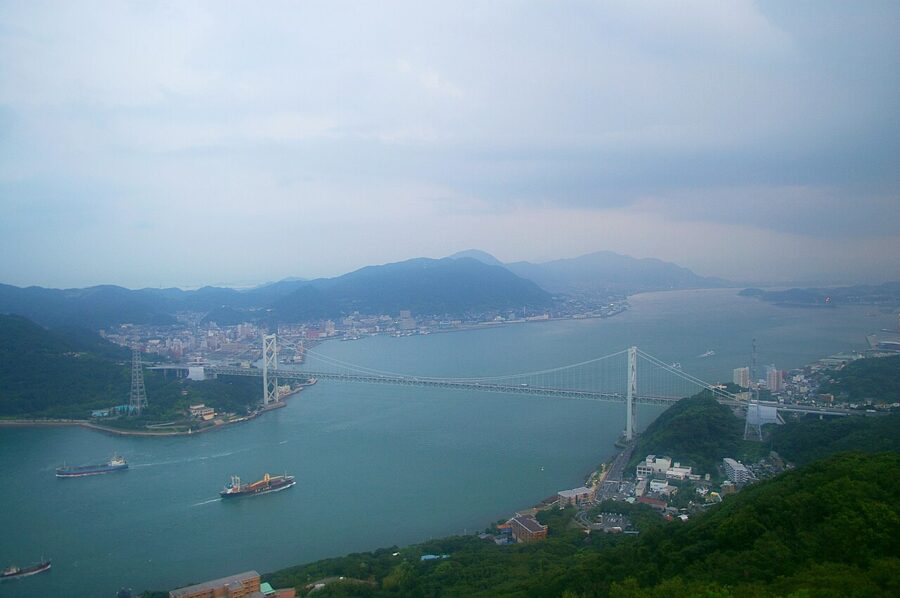

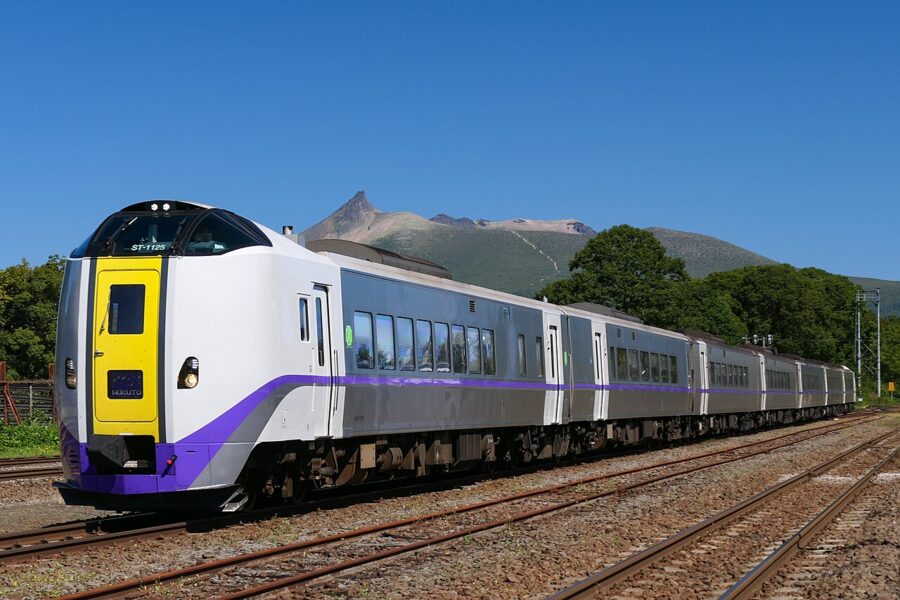
Short hops can be slow ones. Matsuyama is less than 70 kilometres from Hiroshima across the Inland Sea, but by rail it means going back to Okayama and nearly three hours on the Shiokaze, which is why the ferry across is often the better choice. Inside Hokkaido, Sapporo to Hakodate takes 3 hours 29 minutes on the fastest Hokuto, and the eastern towns are a flight away. Any trip that leaves the Shinkansen should budget by the timetable, not the map.
How to plan a route across regions
The simplest way to plan is to treat the Shinkansen trunk as a corridor and hang everything else off it. Tokyo to Fukuoka is the spine, and Kyoto, Osaka and Hiroshima sit on it; Kanazawa, Tohoku and Hakodate branch from Tokyo; Shikoku and San’in branch from Okayama; Nagasaki and Kagoshima branch from Hakata. A route that runs along the spine and dips into two or three branches will move fast and see a great deal.
Fly the long legs. Okinawa, Hokkaido beyond Hakodate and the far ends of Kyushu are all quicker by air, and an open-jaw international ticket, into Tokyo and out of Osaka or Fukuoka, saves a full day of backtracking.
Count the changes, not the kilometres. A Shinkansen leg of four hours is restful; two hours spread over three local trains and a bus is a lost afternoon. I would plan no more than one long journey every two or three days, and leave rail days for the scenery: the Fuji view on the Tokaido line, the Inland Sea from the Great Seto Bridge, the Hokuto along the lakes south of Sapporo.

Four shapes that work
The classic line, ten days. Tokyo, then the Hokuriku Shinkansen to Kanazawa, then on to Tsuruga and the Thunderbird to Kyoto. Give Kyoto three nights with a day in Nara, then Osaka, then Hiroshima and Miyajima, and fly home from Osaka or Fukuoka. Everything after Tokyo runs one way, so nothing is seen twice.

The western loop, two weeks. Osaka to Okayama, across the Great Seto Bridge to Takamatsu, then by limited express to Kochi or Matsuyama. Come back to Honshu by Okayama, ride west to Hiroshima and on to Hakata, then south through Kumamoto to Kagoshima. Add the San’in coast from Okayama if you have three more days.
The northern run, ten days. Tokyo north through Tohoku, stopping in Sendai, Hiraizumi and Morioka, then across to Akita or up to Aomori. Ride under the strait to Hakodate, take the Hokuto to Sapporo and fly back to Tokyo or Osaka from New Chitose, about an hour and a half. It works best from late spring to autumn, when the mountain roads and seasonal buses are running.
The islands as an add-on. Okinawa sits outside every rail route, so treat it as a separate block of four or five days at the start or end, flying in from Tokyo, Osaka or Fukuoka. Ishigaki and Miyako are an hour’s flight beyond Naha.
Where to go from here
The map is the start; the regions are where the detail lives. For Kansai the place to begin is Kyoto, then Nara; for the west, Hiroshima and the wider Chugoku region; for the north, the Tohoku routes and Iwate; for the south, Okinawa. Each one opens with its own map in words, the lines that reach it and how long they take.
And when you look at the printed map again, find the little box with Okinawa in it. Then picture it more than 1,500 kilometres south-west of Tokyo, where it really is, and plan from there.